
CSPDC Receives Virginia Housing Grant for Regional Data Dashboard

The CSPDC has received a $50,000 Capacity Building Implementation Grant from Virginia Housing to develop an interactive regional data dashboard. The grant program supports organizations in enhancing their operations, processes, and resources to better serve their communities.

Developed in partnership with the University of Virginia’s Weldon Cooper Center for Public Service, the dashboard will build on findings from the Central Shenandoah Regional Housing Study to provide local governments, housing organizations, developers, and other regional partners with timely, accessible demographic, economic, and housing data. Key housing indicators will include housing age and type, occupancy, home values, tenure, and cost burden among renters and homeowners.

Through interactive visualizations, users will be able to compare data across localities and explore connections among income, age, housing tenure, affordability, and other factors.

By putting current, locally relevant information within easy reach, the dashboard will help regional partners better understand housing needs, prioritize investments, and build stronger applications for state and federal funding.

Data collection and analysis are expected to continue through fall 2026, with the dashboard scheduled for completion by early 2027. We look forward to sharing updates as the dashboard takes shape.

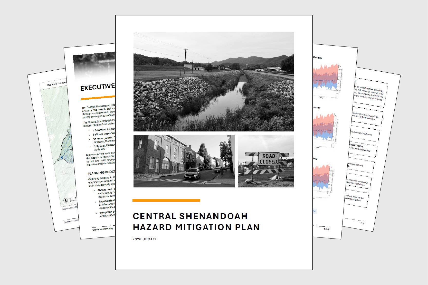
Hazard Mitigation Plan Enters Final Review Stage

After nearly two years of regional collaboration, the updated Central Shenandoah Hazard Mitigation Plan has entered formal review. In late January, the CSPDC submitted a full draft to the Virginia Department of Emergency Management (VDEM) for review, the first step in a multi-agency approval process expected to take several months. 

Once the state review is complete, the plan advances to the Federal Emergency Management Agency (FEMA), which has up to 45 days to evaluate compliance with federal hazard mitigation planning requirements (44 CFR Part 201). If the plan meets all requirements, FEMA will grant conditional approval pending local adoption. That local adoption step is critical: participating jurisdictions must formally adopt the plan to remain eligible for federal and state grant programs aimed at reducing the impact of disasters. 

This update marks the third full revision of the plan since its original adoption in 2005. The extensive process engaged 5 cities, 5 counties, 11 towns, 3 special districts, roughly 30 agencies and organizations, and community members. Four steering committee meetings, individual consultations with each participating locality, and public surveys drawing input from more than 450 residents shaped the final product. 

The plan identifies flooding, wildfires, and severe winter weather as the region’s highest natural hazard risks. These risks reflect a combination of historic development patterns along rivers, densely forested ridgelines, and the elevation changes that define the region’s terrain. Among human-caused hazards, hazardous materials incidents rank as a leading concern, reflecting the region’s location along the Interstate 81 corridor and its manufacturing base. The plan also addresses a distinctive regional challenge: maintaining reliable emergency communications within the constraints of the National Radio Quiet Zone and the area’s complex mountain geography. 

To read the draft plan and share feedback, visit https://connect.cspdc.org/hazard-mitigation-plan