Take Our Regional Flood and Stormwater Survey

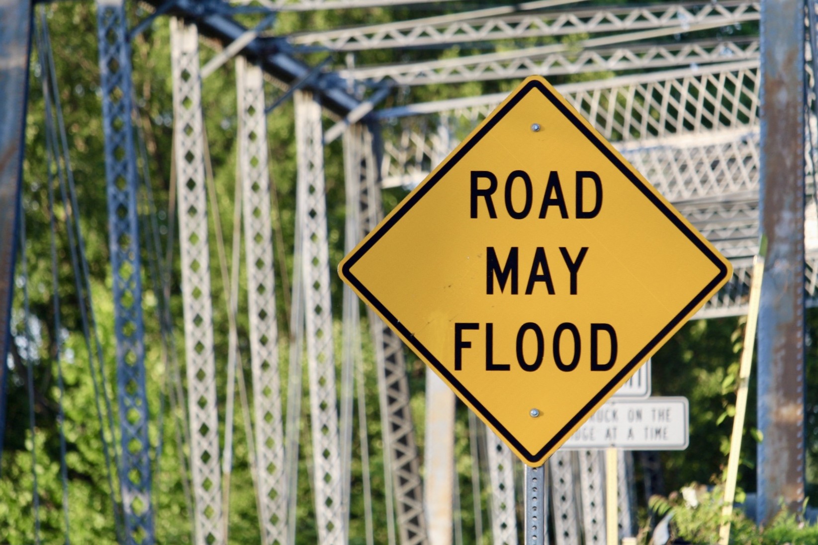
The CSPDC has launched a new public survey inviting residents, business owners, and community members to share their experiences with flooding and stormwater issues in their communities.  

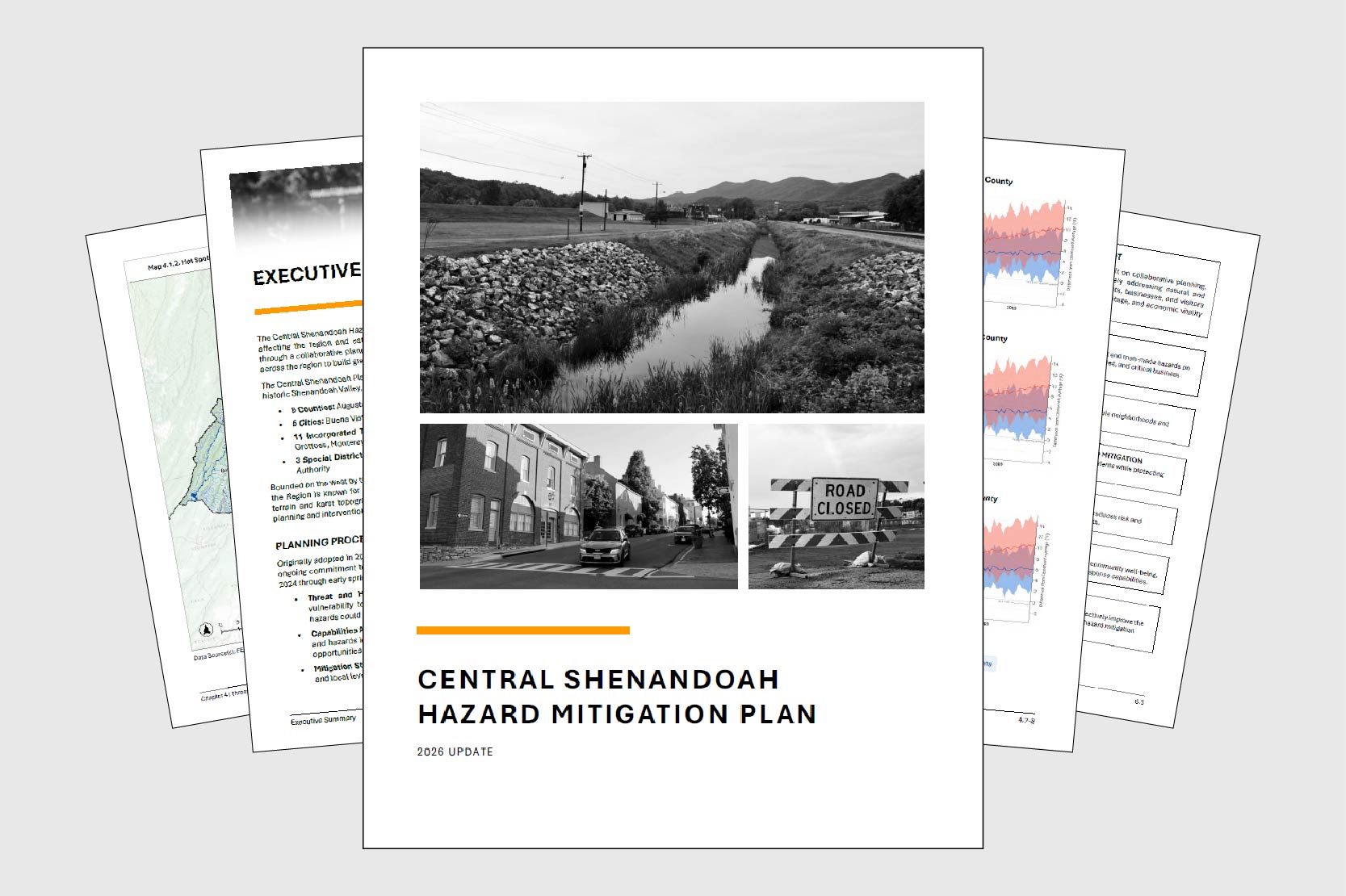
Survey responses will direct how and where funding is prioritized to address flooding concerns across the region through the Central Shenandoah Flood and Stormwater Resilience Plan, a regional process to better understand and address flooding at the local level. The Plan will help participating localities identify priority infrastructure projects — from traditional stormwater improvements to green infrastructure solutions — and position them to compete for construction funding through the Virginia Department of Conservation and Recreation’s Community Flood Preparedness Fund (CFPF). 

Localities must have an adopted Flood and Stormwater Resilience Plan in place to qualify for CFPF construction funding, and broad public participation a critical input for the process. 

What the Survey Covers 

The survey asks participants to identify where flooding or drainage problems occur, how frequently they happen, and how they affect neighborhoods, roads, and public spaces. Responses will be combined with technical data and local government input to guide project identification and planning across the region. 

The survey is open to all residents and stakeholders in the Central Shenandoah region and takes just a few minutes to complete. 

Access the survey: https://connect.cspdc.org/flood-and-stormwater-resilience-plan 

Hazard Mitigation Plan Enters Final Review Stage

After nearly two years of regional collaboration, the updated Central Shenandoah Hazard Mitigation Plan has entered formal review. In late January, the CSPDC submitted a full draft to the Virginia Department of Emergency Management (VDEM) for review, the first step in a multi-agency approval process expected to take several months. 

Once the state review is complete, the plan advances to the Federal Emergency Management Agency (FEMA), which has up to 45 days to evaluate compliance with federal hazard mitigation planning requirements (44 CFR Part 201). If the plan meets all requirements, FEMA will grant conditional approval pending local adoption. That local adoption step is critical: participating jurisdictions must formally adopt the plan to remain eligible for federal and state grant programs aimed at reducing the impact of disasters. 

This update marks the third full revision of the plan since its original adoption in 2005. The extensive process engaged 5 cities, 5 counties, 11 towns, 3 special districts, roughly 30 agencies and organizations, and community members. Four steering committee meetings, individual consultations with each participating locality, and public surveys drawing input from more than 450 residents shaped the final product. 

The plan identifies flooding, wildfires, and severe winter weather as the region’s highest natural hazard risks. These risks reflect a combination of historic development patterns along rivers, densely forested ridgelines, and the elevation changes that define the region’s terrain. Among human-caused hazards, hazardous materials incidents rank as a leading concern, reflecting the region’s location along the Interstate 81 corridor and its manufacturing base. The plan also addresses a distinctive regional challenge: maintaining reliable emergency communications within the constraints of the National Radio Quiet Zone and the area’s complex mountain geography. 

To read the draft plan and share feedback, visit https://connect.cspdc.org/hazard-mitigation-plan 

CSPDC Hosts Regional Urban Karst and Stormwater Workshop

The CSPDC hosted an Urban Karst and Stormwater Workshop on October 28th in Waynesboro City Council Chambers, bringing together approximately 35 stormwater management and public works professionals from across the region. The full-day event explored challenges and best practices for planning and implementing stormwater projects on karst, a geological feature that can complicate conventional approaches.

A primary focus was Appendix E of the Virginia Stormwater Management Handbook, released by the Virginia Department of Environmental Quality (DEQ) earlier this year. Appendix E provides site assessment and design guidelines for stormwater management in karst terrain, helping practitioners navigate the technical complexities these geological conditions present.

The workshop featured four expert speakers with extensive karst and stormwater experience. Wil Orndorff, Karst Protection Coordinator for the Virginia Natural Heritage Program at the Department of Conservation and Recreation, co-authored the draft of Appendix E and provided insights into karst geology throughout the Shenandoah Valley. Lisa Perry, a Mitigation Specialist at Ecosystem Services with prior experience administering erosion control and stormwater management for Rockingham County, shared perspectives on regulatory compliance in karst areas. Sheila Reeves, Water Resources Service Director at VHB, drew on her expertise in stormwater management, watershed planning, and floodplain compliance to discuss project planning strategies for karst sites. Aislinn Creel, Senior Stormwater Project Manager at Timmons Group, joined Reeves to present a case study on Mulberry Run Wetlands, an award-winning constructed wetland in Waynesboro that successfully addressed stormwater management challenges in a karst environment.

The workshop concluded with a site visit to Mulberry Run Wetlands, allowing participants to see firsthand how innovative design can overcome karst-related obstacles while achieving effective stormwater management and ecological benefits.