


Welcome to the CSPDC
The Central Shenandoah Planning District Commission (CSPDC) represents and serves the local governments of Augusta, Bath, Highland, Rockbridge, and Rockingham counties and the cities of Buena Vista, Harrisonburg, Lexington, Staunton and Waynesboro as well as the 11 towns within the Central Shenandoah region.
The CSPDC works with its member jurisdictions, communities, and agencies to provide high-quality planning, technical assistance, and facilitation of services that address local, regional, and state needs in an innovative, timely, and cooperative manner. Covering everything from land use planning, transportation, water and waste-water utilities, natural resource management, affordable housing, economic and community development, hazard mitigation, agritourism, to human services, the CSPDC is an invaluable asset to the quality of life in the Central Shenandoah Valley. For more information about the CSPDC, click here.

Central Shenandoah Planning District Commission
112 MacTanly Place
Staunton, VA 24401
Phone: 540-885-5174
Fax: 540-885-2687
View Our Regional Collaboration Video

Latest News
Transit Equity Day & Winter Storm Fern Response
![]()
BRITE Bus celebrated Transit Equity Day on February 4 with fare-free rides on all BRITE routes. Transit Equity Day pays homage to Civil Rights icon Rosa Parks and her courageous acts in fighting for the right to equitable transportation. This day of action serves as a reminder of the importance of removing barriers to accessible transportation.
Prior to honoring Ms. Parks’ legacy, Winter Storm Fern impacted operations. BRITE Bus prepared for the storm by ending service early on January 24, and provided fare-free rides for the day so residents could access transportation without barriers to prepare for the storm. Once services resumed, BRITE staff reiterated to riders how to safely access BRITE services with the plethora of snow/ice around typical bus stops and pedestrian infrastructure. We thank the Cities of Staunton and Waynesboro and Augusta County staff who assisted in making the bus stop areas accessible to riders.
Take Our Regional Flood and Stormwater Survey
The CSPDC has launched a new public survey inviting residents, business owners, and community members to share their experiences with flooding and stormwater issues in their communities.
Survey responses will direct how and where funding is prioritized to address flooding concerns across the region through the Central Shenandoah Flood and Stormwater Resilience Plan, a regional process to better understand and address flooding at the local level. The Plan will help participating localities identify priority infrastructure projects — from traditional stormwater improvements to green infrastructure solutions — and position them to compete for construction funding through the Virginia Department of Conservation and Recreation’s Community Flood Preparedness Fund (CFPF).
Localities must have an adopted Flood and Stormwater Resilience Plan in place to qualify for CFPF construction funding, and broad public participation a critical input for the process.
What the Survey Covers
The survey asks participants to identify where flooding or drainage problems occur, how frequently they happen, and how they affect neighborhoods, roads, and public spaces. Responses will be combined with technical data and local government input to guide project identification and planning across the region.
The survey is open to all residents and stakeholders in the Central Shenandoah region and takes just a few minutes to complete.
Access the survey: https://connect.cspdc.org/flood-and-stormwater-resilience-plan
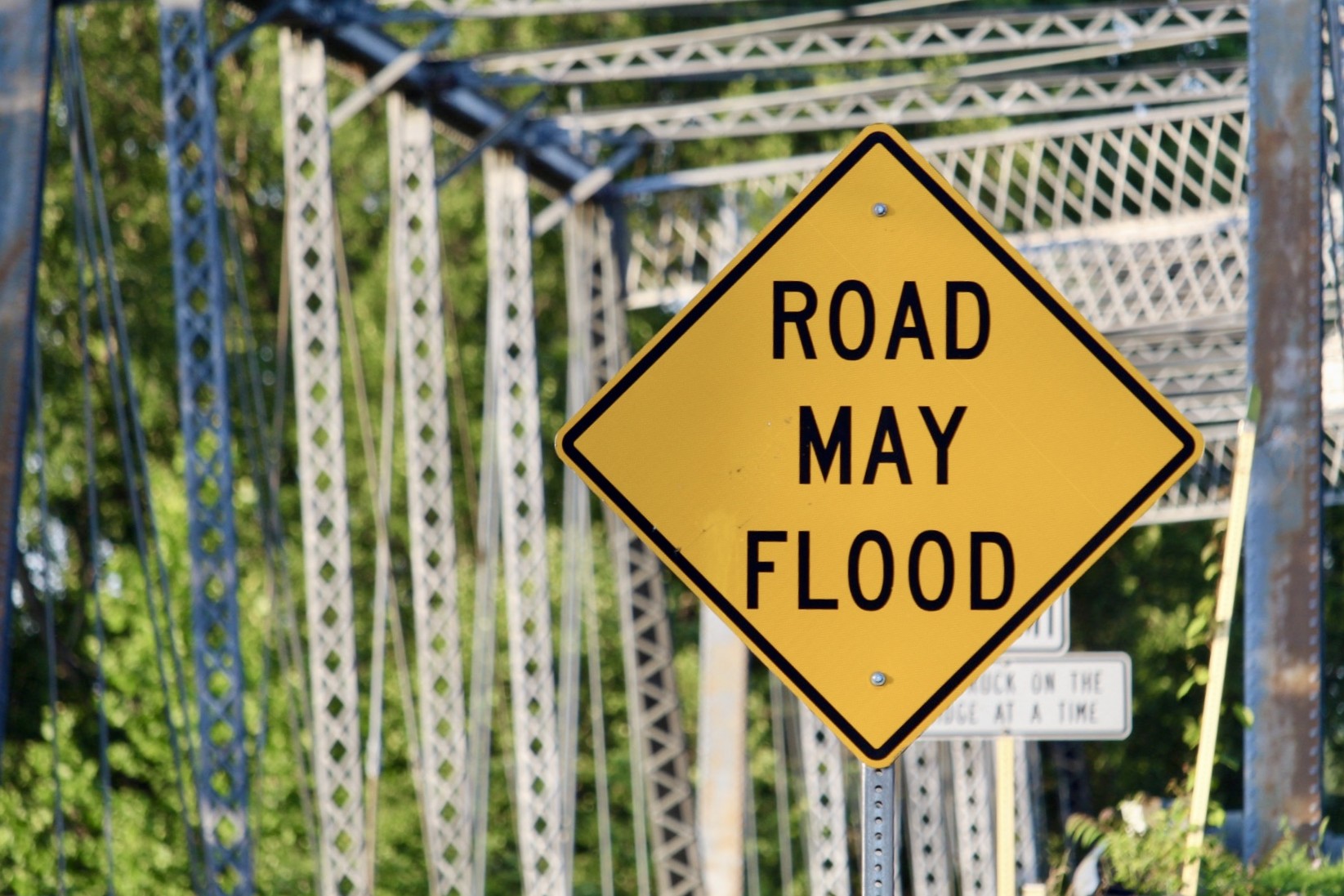
Hazard Mitigation Plan Enters Final Review Stage
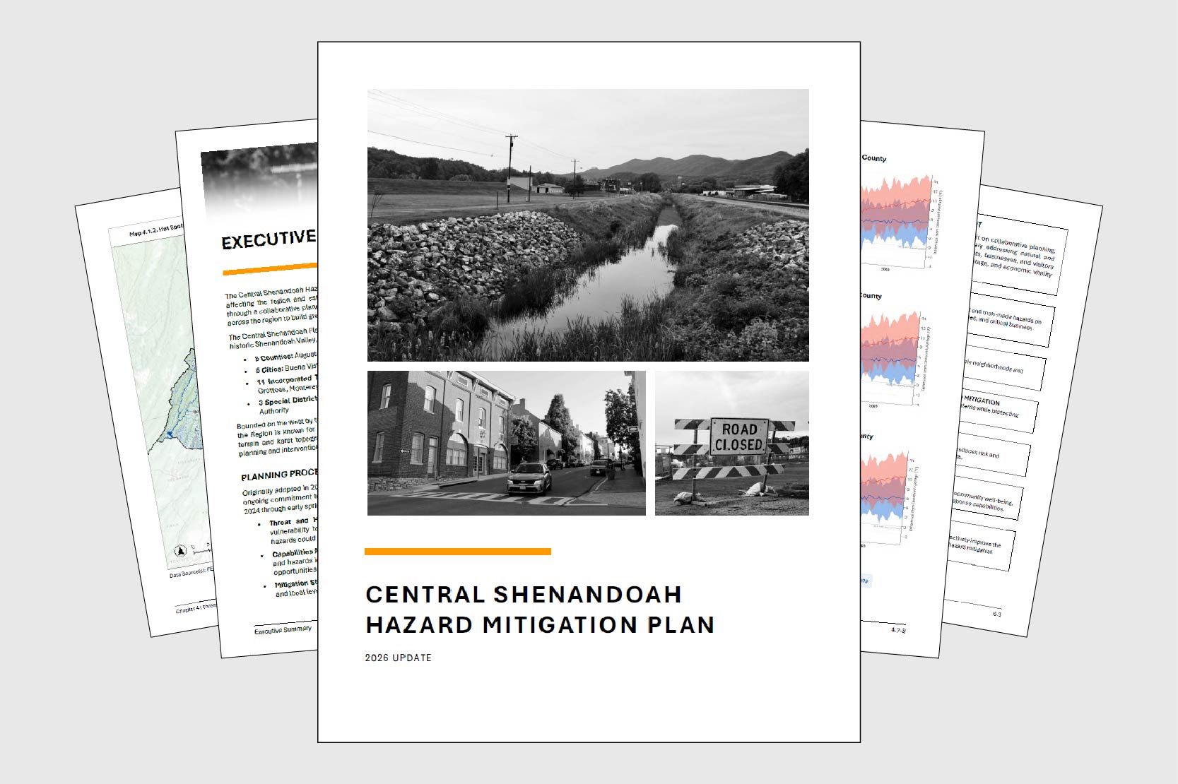
After nearly two years of regional collaboration, the updated Central Shenandoah Hazard Mitigation Plan has entered formal review. In late January, the CSPDC submitted a full draft to the Virginia Department of Emergency Management (VDEM) for review, the first step in a multi-agency approval process expected to take several months.
Once the state review is complete, the plan advances to the Federal Emergency Management Agency (FEMA), which has up to 45 days to evaluate compliance with federal hazard mitigation planning requirements (44 CFR Part 201). If the plan meets all requirements, FEMA will grant conditional approval pending local adoption. That local adoption step is critical: participating jurisdictions must formally adopt the plan to remain eligible for federal and state grant programs aimed at reducing the impact of disasters.
This update marks the third full revision of the plan since its original adoption in 2005. The extensive process engaged 5 cities, 5 counties, 11 towns, 3 special districts, roughly 30 agencies and organizations, and community members. Four steering committee meetings, individual consultations with each participating locality, and public surveys drawing input from more than 450 residents shaped the final product.
The plan identifies flooding, wildfires, and severe winter weather as the region’s highest natural hazard risks. These risks reflect a combination of historic development patterns along rivers, densely forested ridgelines, and the elevation changes that define the region’s terrain. Among human-caused hazards, hazardous materials incidents rank as a leading concern, reflecting the region’s location along the Interstate 81 corridor and its manufacturing base. The plan also addresses a distinctive regional challenge: maintaining reliable emergency communications within the constraints of the National Radio Quiet Zone and the area’s complex mountain geography.
To read the draft plan and share feedback, visit https://connect.cspdc.org/hazard-mitigation-plan